 Route and GPS data
Fully planned. Just ride.
GPS data for Komoot, Strava, Garmin and any other GPS device. They arrive by email after activation.

 Media gallery
 Media gallery
 Media gallery
 Media gallery
 Media gallery
 Media gallery
 Media gallery
 Media gallery
 Media gallery
 Media gallery
 Media gallery
 Media gallery
 Media gallery
 Media gallery
 Media gallery
 Media gallery
MOUNTAIN SQUAD
ab €59,99
Combine several challenges.
Every challenge in the bundle gets the level and package of your selection.
Couldn't load pickup availability




Beautiful and demanding.

Around 90 % wide gravel tracks, short tarmac sections, rideable throughout. Start and finish in the same place, and you can join anywhere.
Route and GPS data
GPS data for Komoot, Strava, Garmin and any other GPS device. They arrive by email after activation.
More than 100 pages, works offline, with the complete planning.
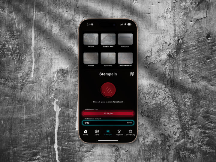
Within a 50 metre radius, even without signal.
The challenge right on your Garmin.
 Package M
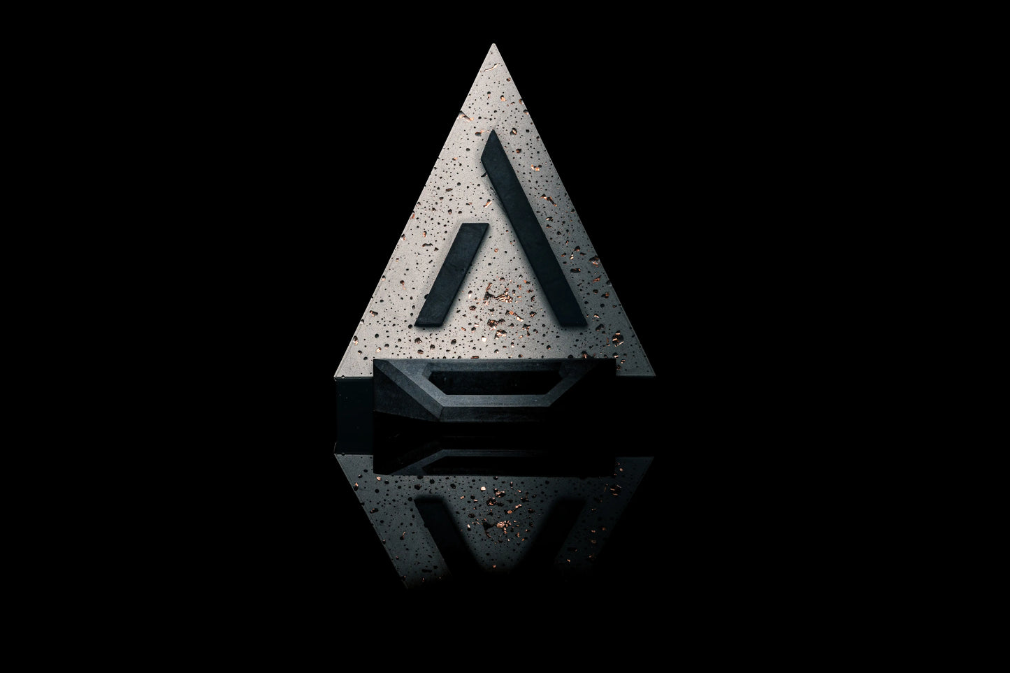
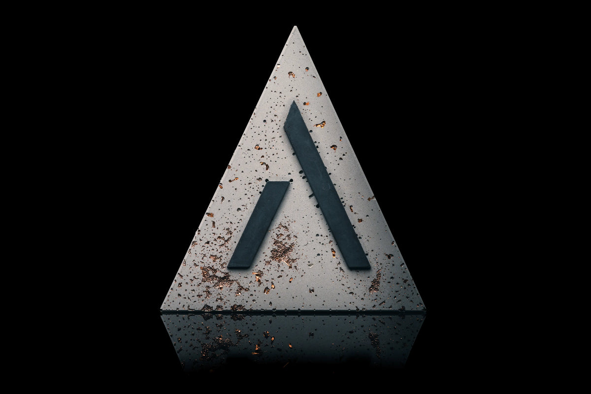
The trophy, cast in concrete in Wernigerode. Every one unique.
Choose your start and tier, the planner splits the stages and shows matching partner hotels. All in one package.
Right in the browser, on desktop and phone.
Every summit is a stamp. Plus points, levels, a digital certificate and your time on the leaderboard.
Perks at our partners along the route.
The same loop, three time windows. The timer only starts when you start in the app.
In the end a lot of it is mindset. Training makes it easier, energy keeps you going, and your head gets you to the finish.
Push through when it gets tough. Many limits are in your head, not in your legs.
Training makes everything easier. The better prepared you are, the more you'll enjoy the loop.
Eat and drink early and regularly. On an empty tank, every climb feels twice as long.
More time. More scenery. More to discover.
For everyone who really wants to experience the Harz: look beyond the route, stay overnight in the villages, ride with your crew. For many, that alone is a real challenge. And if you are in top shape, this is above all one big adventure.
A sporty ride. With room to enjoy it.
The mix of both. If you are fit, you ride at a good pace and still have time to discover the Harz. If you train less, this is exactly where you find your challenge.
For everyone looking for the challenge.
The epic. One loop in one day, off at first light and back before dark. For everyone who wants to push to a real limit.
Choose your tier and package. You don't set a start date at this point.
By email, enter it in the app, and the challenge is unlocked.
The timer only starts once you start the challenge in the app.
We support teams because Squad is in our name. The adventure gets better when you ride it together. The team discount applies automatically in the cart.
“In the end it’s mostly a mental game, you just have to grit your teeth and push through.”
★★★★★ Friedemann · Harter Brocken MTB, Gold
Once around the Harz, on a different surface.
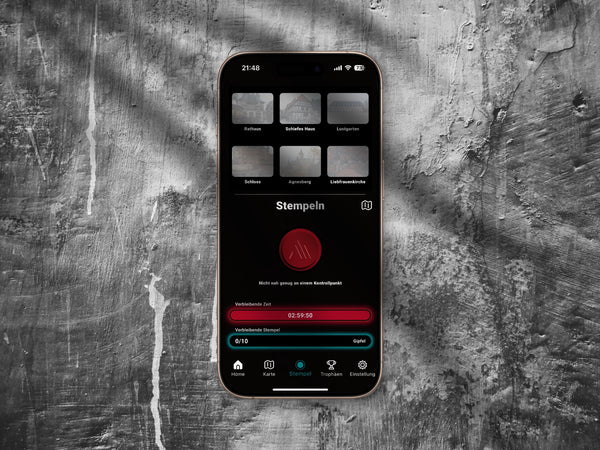
Within 50 metres you stamp in the app, even without signal. Tap a summit for more.
Climbs that bite, descents that reward you: 202 kilometres and 5,123 m of elevation gain in one go, around 90% gravel.
 Harz National Park
Mountain Squad is an official partner of the Harz National Park. The route is planned in close coordination with the park.
Besides the national park the loop runs through state forests. As soon as snow lies, the forest and park authorities prohibit riding.
 A forest in transition
Since 2018, drought, storms and bark beetles have killed off spruces across large areas of the Harz. In the natural dynamics zone, over 70% of the national park, the deadwood stays where it falls and the forest develops without intervention. Look out for deadwood along the way.
 Half-timbering and castles
Wernigerode's town centre consists largely of Lower Saxon half-timbered houses; since 1910 the town has called itself „Die bunte Stadt am Harz“, the colourful town on the Harz. Along the way: charming half-timbered towns, mighty castles and a mix of history, nature and adventure.
 Granite
The Brocken and its surroundings consist mainly of granite. Above Schierke, the Feuersteinklippen crags rise up.
 Reservoirs
Past the Eckertalsperre reservoir and the Oderteich, dating from 1722.
 Towers and views
From the Kaiserturm on the Armeleuteberg you look out over Wernigerode Castle. Also on your loop: Knollenturm, observation tower on the Wurmberg.
 Swimming along the way
Swimming is allowed in the southern third of the Oderteich, near the dam. The northern part is left to nature. Right next to it lies the Großes Torfhausmoor with a layer of peat more than five metres thick.
Since November 2023, a 65-metre observation tower has stood in Torfhaus. At 45 metres you'll find two panorama platforms, a skywalk with a glass floor and the start of a 110-metre slide.
Gravel and forest tracks define the loop, tarmac remains the exception.
Riding the Harz means riding through centuries.
Legend has it that the witches gather on the night of 30 April to 1 May on the Blocksberg, as the Brocken is popularly known.
Ore mining consumed vast amounts of timber. The deciduous forests were cleared and, over centuries, replanted with fast-growing spruces.
Built by 1722, then Germany's largest reservoir until the end of the 19th century.
On 10 December, Goethe climbs the Brocken on his first Harz journey. In his “Faust”, the mountain becomes the setting for Walpurgis Night.
First described on the Brocken: your own shadow, huge on a wall of fog, often surrounded by a coloured ring of light.
By 1885 the castle takes on its present, largely neo-Gothic appearance.
From August, the Brocken is a restricted military zone of the GDR. The inner German border runs through the Eckertalsperre reservoir on your loop.
On 3 December, around 6,000 demonstrators open the mountain to everyone with a star hike.
1990 the Hochharz National Park in Saxony-Anhalt, 1994 the Harz National Park in Lower Saxony. Since 2006 the two have formed one joint national park.
The Upper Harz Water Management System, including the Oderteich, becomes part of the World Heritage Site Rammelsberg and Historic Town of Goslar.
Drought, storms and bark beetles kill off spruces across large areas. In the national park's natural dynamics zone, the forest has been developing without intervention ever since.
Split the route into stages, with matching partner hotels along the way.
Three choices, that is all it takes. The plan below rebuilds instantly.
Daylight and temperature in the Harz for every third of a month. Highlighted: the season of your level.
Hover to see the values, tap to keep them.Sun times Wernigerode (NOAA). Temperature: mean daily maximum 1991 to 2020, DWD stations Wernigerode and Brocken
Enter the code, start, stamp, finish. That is all you need on the way.
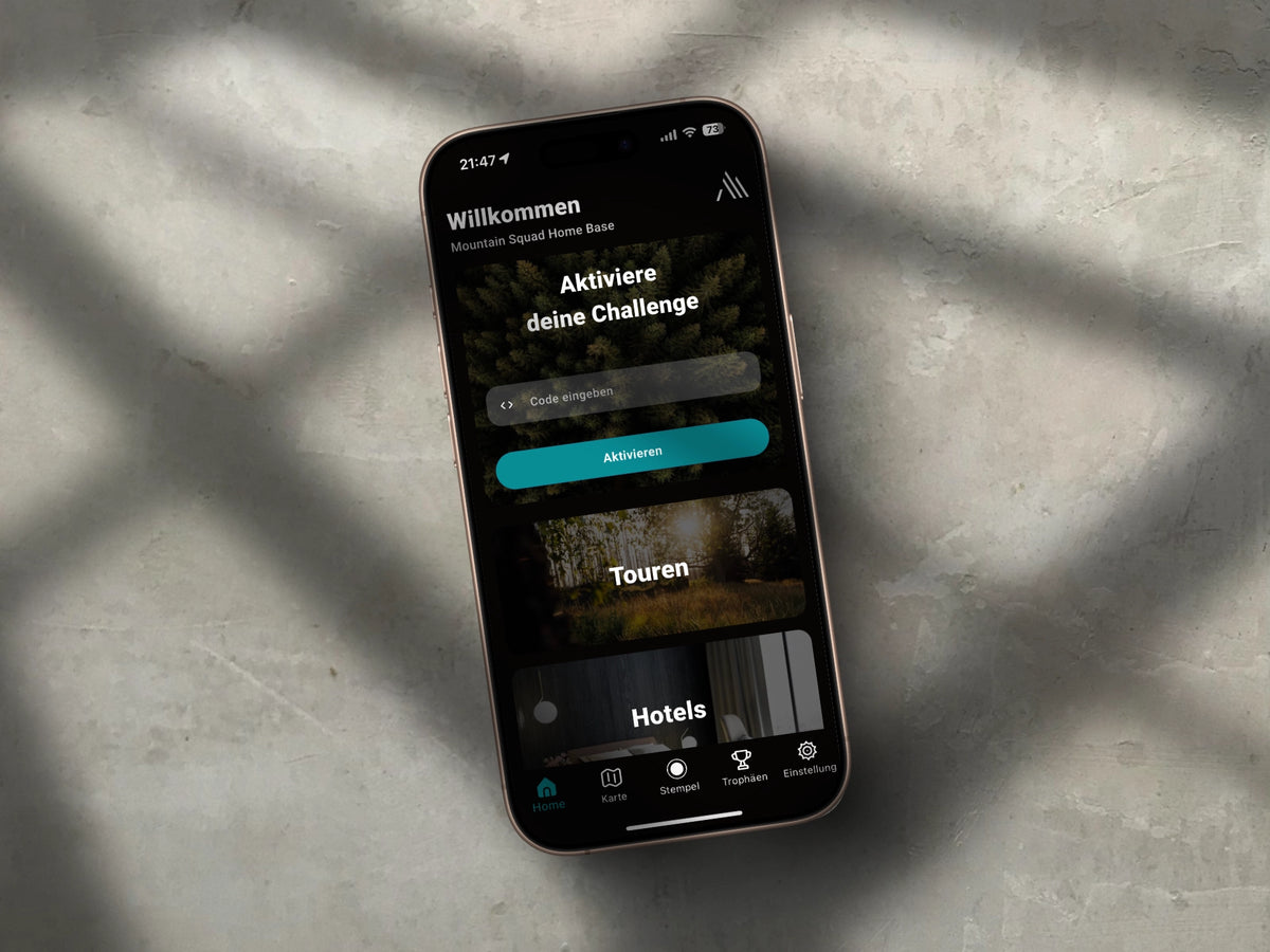
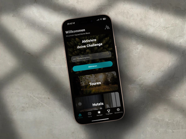
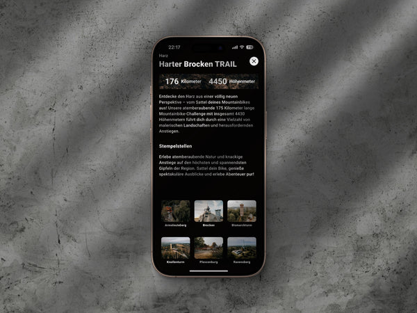
The code arrives by email right after your purchase. Type it in once and the challenge is unlocked.
Unlocking doesn't start anything. You drag the slider and confirm once more. Only then does it begin.
From the start, the clock counts down. It keeps running even if your battery dies or you close the app.
Within a 50-metre radius the button becomes active and pulses. This works without signal too.
Every summit a stamp. Plus points, levels, a digital certificate and your collection.
The app saves the stamp locally and uploads it later by itself. Everything else, meaning loading maps, starting and finishing, needs a connection.
If your battery dies or you close the app, your time keeps running anyway. Only you can start it, nothing happens before that.
The GPS data arrives by email after activation, for Komoot, Strava, Garmin Connect and Wahoo ELEMNT. You load it onto the device you ride with anyway.
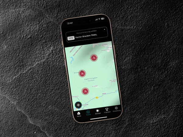
 Map
MapBefore that you see all tours. Once your challenge is running, your own route with the stamp points stays on screen.
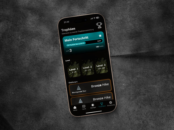
Points, levels, the digital certificate and your collection all live in the app.
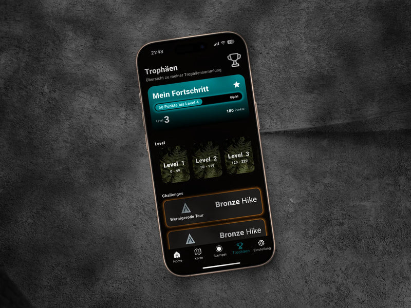
For every completed challenge and every stamp you collect points and level up.
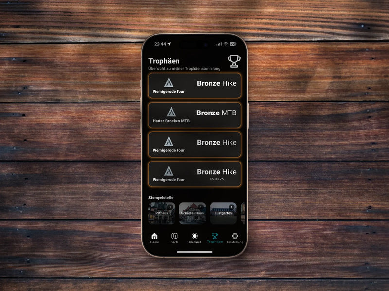
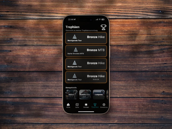
All completed challenges and collected stamps stay in your collection.
 Coming soon
Your time goes onto the leaderboard, and you get the digital certificate as well.
After a successful finish the app takes you to the partner hotels and summits that have trophies in stock, with address, opening hours and phone number.


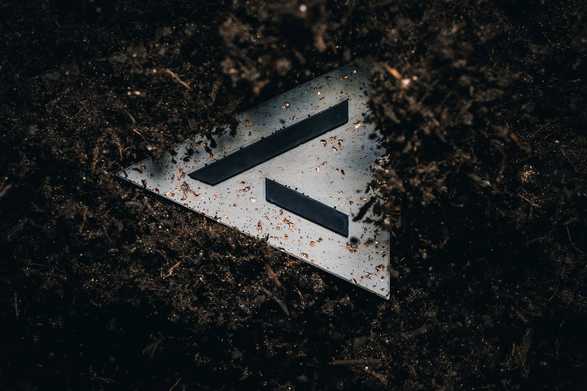
Mixed by hand, cast by hand, checked by hand. No machine does this for us.
We make the mould ourselves. Every single trophy later comes out of it.
Black concrete, mixed separately and placed into the mould with a pipette. Then the logo cures.
Copper, silver or gold sand, plus copper pieces or refined glass pieces. All placed by hand.
The main batch of concrete is mixed and poured over the top. From here on it is decided how the surface turns out.
After drying, each piece comes carefully out of the mould. This creates the unique texture, no two are alike.
Sharp edges are lightly softened, each piece is checked and then dipped, which means sealed.
Into the magnetic box goes the sticker for your bike type, plus a handwritten thank-you card with a hand-made embossing. Then it goes to your partner hotel.
No print, no foil. The copper sits in the material, placed by hand before the concrete goes over it.


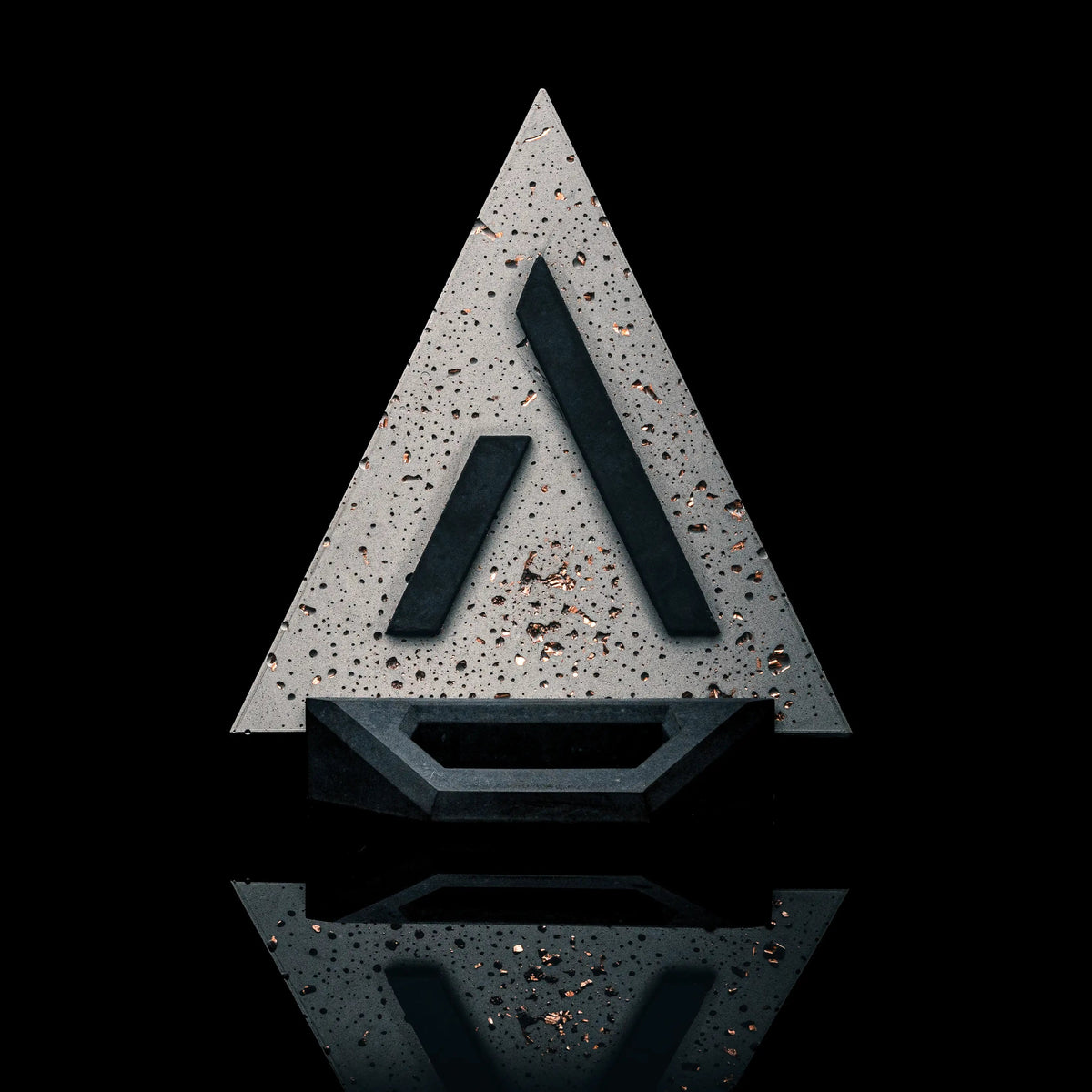
The trophy is part of package M. It is handed over after you complete your challenge. The app then shows you where, currently for example at the HKK Hotel Wernigerode.
After a successful finish the app shows you the partner hotels and summits that have trophies in stock, with address, opening hours and phone number.
15 answers, kept short. Anything missing here is on the full questions page.
TRAIL is the technical version with demanding singletrails and descents through trail parks. Best on an all-mountain or enduro bike, a downhill bike is too heavy for the elevation gain.
MTB takes you down less demanding descents, classically on a hardtail or a light full-suspension bike. GRAVEL runs about 90 per cent on wide gravel tracks with short tarmac sections and is rideable throughout. ROAD is the longest loop in the series and made for the road bike.
Bronze is designed for three days: 2 to 4 hours of training per week, 40 to 70 km, a solid base fitness. Your backside should be used to the saddle.
Silver is for two days: 5 to 8 hours per week, 70 to 120 km, good endurance with regular breaks. Gold is one day: 8 to 10 hours per week, 150 to 250 km, very high endurance and strength. The route stays the same in all three tiers, only your time window changes.
Package S is the digital experience: access to the challenge in the app with stamps, points and levels, the GPS data, the digital certificate and the folding map as a PDF.
Package M includes all of that plus the handmade concrete trophy with a matching base and the printed folding map.
It depends on your level: Bronze from mid-February to mid-November, Silver from March to October. The days are long enough then and the weather is more stable. For Gold we recommend late April to mid-September, because you need as much daylight as possible on a single day.
If there is snow, the route is closed, as required by the state forestry service and the national park. Riding is banned at night, to protect the wildlife and because visibility is poor.
Gold: with the first rays of sun, so between 4 and 5 am in midsummer. That leaves time for breaks without ending up in the dark.
Silver and Bronze: between 6 and 7 am. That gives you a buffer in case a tyre bursts or something takes longer than planned.
After activation you get the GPS data by email. You load it into Komoot or Strava or straight onto your device, for example via Garmin Connect or Wahoo ELEMNT. The app itself doesn't navigate yet.
A tip for importing into Komoot: choose follow the original route and not “adjust to known paths”. Our data is more precise, even if the line sometimes looks slightly offset.
Automatically by email, usually within a few seconds of your purchase. If you can't find the email, please check your spam folder.
If you order several challenges, all codes are in one email, each clearly assigned. You then pass them on to your team yourself.
No. The code only unlocks the challenge in the app. You have to start it yourself, and before that there is a safety prompt so it doesn't happen by accident.
Your time only runs from that start. So do it when you are really setting off.
No. Once the code has been redeemed in the app, the challenge stays saved in your account. You can start it later, even in one of the coming years.
For the ride. And for afterwards.
Yes. Your time runs on, whether your battery is dead or you close the app. Once you recharge and open it again, the remaining time is shown correctly.
Yes, as long as your GPS is active. Within a 50-metre radius of the summit the stamp button becomes active, the app saves the stamp locally and uploads it as soon as you have a connection again.
Everything else needs signal: loading maps, starting the challenge and finishing it. There is no full offline mode.
No. If you only use it for stamping, you open it at the summit, set the stamp and close it again.
Please don't ride up again. Get in touch with us using the email address you registered with in the app and, if possible, a screenshot.
We can add missing stamps afterwards. Nobody should have to climb the mountain a second time because of a technical error.
The challenge is ridden in one go, so abandoning it normally counts as not completed.
If an injury or an irreparable mechanical stops you, please get in touch with us as quickly as possible. We'll look at your case and find a solution together. And if things get serious, the rule is always: safety first, the emergency services are on 112.
Once you've completed the challenge, the app shows you the partner hotels and summits that have trophies in stock, with address, opening hours and phone number. Only the places listed there have them.
On site, you show your completion in the app, and they know the process. At the moment, the HKK Hotel Wernigerode is the central collection point.
We are a small team from the Harz and answer ourselves. The more precisely you write, the faster we find a solution.
